 vesseltracker.com
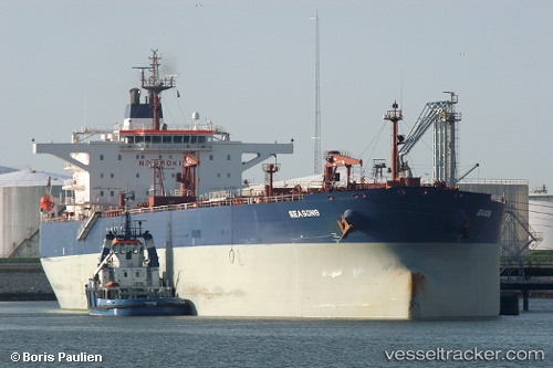
 MIDEA
MIDEA
Current Status
Where is the vessel?
MIDEA is currently in 18 nm NE of Viinistu Sadam, based on AIS data received less than 1h ago.
Latest AIS update:
Current position: 59.88391° N, 26.09917° E (18 nm NE of Viinistu Sadam)
Average speed (last 7 days): Loading…
Average speed (last 30 days): Loading…
Vessel profile: MIDEA is a Crude Oil Tanker with dimensions m x m.
This page combines live AIS, route history, probable destination signals, nearby traffic, and port activity for practical vessel monitoring.
The current position of vessel MIDEA is 59.88391 lat / 26.09917 lng. Updated: 2026-04-28 16:13:59 UTCNearest reference points:
- 13 nm N of Viinistu Sadam
- Near Vessölandet
- Near Vuosaari (Nordsjö)
Currently sailing under the flag of Marshall Islands ![]()
Details:
Live Vessel MIDEA Analytics (details, animations, etc.)
Recent AIS points (UTC):
2026-04-28 13:05:03 UTC · 59.88379, 26.09946 · SOG 0.1 kn · COG 355°2026-04-28 14:19:59 UTC · 59.88390, 26.09833 · SOG 0.3 kn · COG 18°
2026-04-28 16:02:02 UTC · 59.88381, 26.09876 · SOG 0.1 kn · COG 8°
2026-04-28 16:13:59 UTC · 59.88391, 26.09917 · SOG 0.1 kn · COG 3°