 vesseltracker.com
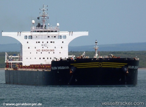
 CAPE HEFEI
Current Status
Where is the vessel?
CAPE HEFEI is currently in Near Maji Shan, based on AIS data received less than 1h ago.
Latest AIS update:
Current position: 30.67750° N, 122.40108° E (Near Maji Shan)
Average speed (last 7 days): Loading…
Average speed (last 30 days): Loading…
Vessel profile: CAPE HEFEI is a Bulk Carrier with dimensions m x m.
This page combines live AIS, route history, probable destination signals, nearby traffic, and port activity for practical vessel monitoring.
The current position of vessel CAPE HEFEI is 30.67750 lat / 122.40108 lng. Updated: 2026-05-16 01:54:13 UTCNearest reference points:
- Near Maji Shan
- Near Lü-hua Shan
- 14 nm NE of JINHAI HEAVY INDUSTR
Currently sailing under the flag of Marshall Islands ![]()
Details:
Live Vessel CAPE HEFEI Analytics (details, animations, etc.)
Recent AIS points (UTC):
2026-05-15 22:48:11 UTC · 30.67745, 122.40105 · SOG 0 kn · COG 339°2026-05-15 23:27:10 UTC · 30.67743, 122.40110 · SOG 0 kn · COG 339°
2026-05-16 01:27:09 UTC · 30.67747, 122.40107 · SOG 0 kn · COG 339°
2026-05-16 01:54:13 UTC · 30.67750, 122.40108 · SOG 0 kn · COG 339°