 vesseltracker.com
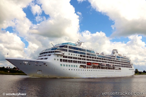
 AZAMARA ONWARD
Current Status
Where is the vessel?
AZAMARA ONWARD is currently in 68 nm NW of Ile Desroches, based on AIS data received less than 1h ago.
Latest AIS update:
Current position: 4.71058° S, 53.09047° E (68 nm NW of Ile Desroches)
Average speed (last 7 days): Loading…
Average speed (last 30 days): Loading…
Vessel profile: AZAMARA ONWARD is a Passengers Ship with dimensions m x m.
This page combines live AIS, route history, probable destination signals, nearby traffic, and port activity for practical vessel monitoring.
The current position of vessel AZAMARA ONWARD is -4.71058 lat / 53.09047 lng. Updated: 2026-04-24 23:48:04 UTCNearest reference points:
- Near Ile Desroches
- 118 nm W of Ile Desroches
- Near Mahé Island Apt
Currently sailing under the flag of Marshall Islands ![]()
Details:
Live Vessel AZAMARA ONWARD Analytics (details, animations, etc.)
Recent AIS points (UTC):
2026-04-24 19:22:31 UTC · -4.95500, 54.31500 · SOG 16 kn · COG -1°2026-04-24 21:43:56 UTC · -4.82667, 53.66500 · SOG 17 kn · COG -1°
2026-04-24 22:26:01 UTC · -4.78167, 53.47333 · SOG 17 kn · COG -1°
2026-04-24 23:48:04 UTC · -4.71058, 53.09047 · SOG 16.9 kn · COG 271°