 vesseltracker.com
 PATAGONIA
Current Status
Where is the vessel?
PATAGONIA is currently in 64 nm S of Chirongui, based on AIS data received less than 1h ago.
Latest AIS update:
Current position: 13.98939° S, 45.33196° E (64 nm S of Chirongui)
Average speed (last 7 days): Loading…
Average speed (last 30 days): Loading…
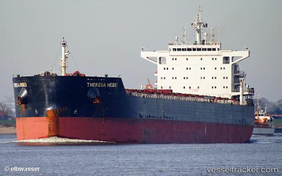
Vessel profile: PATAGONIA is a Bulk Carrier with dimensions m x m.
This page combines live AIS, route history, probable destination signals, nearby traffic, and port activity for practical vessel monitoring.
The current position of vessel PATAGONIA is -13.98939 lat / 45.33196 lng. Updated: 2026-04-24 04:03:26 UTCNearest reference points:
- 47 nm NW of Mohéli Apt
Currently sailing under the flag of Marshall Islands ![]()
Details:
Live Vessel PATAGONIA Analytics (details, animations, etc.)
Recent AIS points (UTC):
2026-04-23 23:55:26 UTC · -13.48300, 45.84458 · SOG 10.4 kn · COG 225°2026-04-24 01:04:55 UTC · -13.62588, 45.70154 · SOG 10.1 kn · COG 223°
2026-04-24 02:39:46 UTC · -13.82670, 45.51781 · SOG 10.6 kn · COG 232°
2026-04-24 04:03:26 UTC · -13.98939, 45.33196 · SOG 10.4 kn · COG 232°