 vesseltracker.com
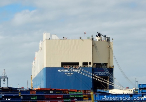
 VIKING CARINA
Current Status
Where is the vessel?
VIKING CARINA is currently in 189 nm NE of Port Mathurin, based on AIS data received about 1h ago.
Latest AIS update:
Current position: 16.96335° S, 65.08953° E (189 nm NE of Port Mathurin)
Average speed (last 7 days): Loading…
Average speed (last 30 days): Loading…
Vessel profile: VIKING CARINA is a Vehicles Carrier with dimensions m x m.
This page combines live AIS, route history, probable destination signals, nearby traffic, and port activity for practical vessel monitoring.
The current position of vessel VIKING CARINA is -16.96335 lat / 65.08953 lng. Updated: 2026-05-14 10:22:51 UTCNearest reference points:
- 154 nm NE of Port Mathurin
- 241 nm N of Port Mathurin
Currently sailing under the flag of Marshall Islands ![]()
Details:
Live Vessel VIKING CARINA Analytics (details, animations, etc.)
Recent AIS points (UTC):
2026-05-14 07:51:06 UTC · -17.34088, 64.54680 · SOG 14.9 kn · COG 60°2026-05-14 08:09:29 UTC · -17.29457, 64.61005 · SOG 14.9 kn · COG 60°
2026-05-14 09:53:57 UTC · -17.03502, 64.98595 · SOG 15.5 kn · COG 61°
2026-05-14 10:22:51 UTC · -16.96335, 65.08953 · SOG 14.9 kn · COG 58°