 vesseltracker.com
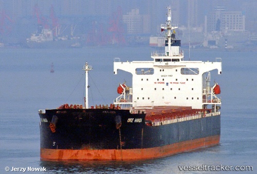
 SAFESEA LAXMI
Current Status
Where is the vessel?
SAFESEA LAXMI is currently in 65 nm W of Jolo, based on AIS data received about 1h ago.
Latest AIS update:
Current position: 6.23667° N, 119.92333° E (65 nm W of Jolo)
Average speed (last 7 days): Loading…
Average speed (last 30 days): Loading…
Vessel profile: SAFESEA LAXMI is a Bulk Carrier with dimensions m x m.
This page combines live AIS, route history, probable destination signals, nearby traffic, and port activity for practical vessel monitoring.
The current position of vessel SAFESEA LAXMI is 6.23667 lat / 119.92333 lng. Updated: 2026-04-27 08:00:02 UTCNearest reference points:
- 66 nm W of Jolo
- 21 nm NW of Zamboanga
- 14 nm SE of Zamboanga
Currently sailing under the flag of Marshall Islands ![]()
Details:
Live Vessel SAFESEA LAXMI Analytics (details, animations, etc.)
Recent AIS points (UTC):
2026-04-27 04:26:54 UTC · 5.56500, 119.78500 · SOG 11 kn · COG -1°2026-04-27 05:20:58 UTC · 5.72833, 119.82500 · SOG 11 kn · COG -1°
2026-04-27 07:26:58 UTC · 6.13333, 119.90333 · SOG 11 kn · COG -1°
2026-04-27 08:00:02 UTC · 6.23667, 119.92333 · SOG 11 kn · COG -1°