 vesseltracker.com
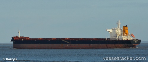
 PENELOPE OLDENDORFF
Current Status
Where is the vessel?
PENELOPE OLDENDORFF is currently in 355 nm N of Sapiranga, based on AIS data received about 2h ago.
Latest AIS update:
Current position: 23.93833° S, 26.96333° W (355 nm N of Sapiranga)
Average speed (last 7 days): Loading…
Average speed (last 30 days): Loading…
Vessel profile: PENELOPE OLDENDORFF is a Bulk Carrier with dimensions m x m.
This page combines live AIS, route history, probable destination signals, nearby traffic, and port activity for practical vessel monitoring.
The current position of vessel PENELOPE OLDENDORFF is -23.93833 lat / -26.96333 lng. Updated: 2026-05-14 23:32:19 UTCNearest reference points:
- Open sea, approx. 408 nm off the nearest listed port
- Open sea, approx. 410 nm off the nearest listed port
- Open sea (no nearby ports in database)
Currently sailing under the flag of Marshall Islands ![]()
Details:
Live Vessel PENELOPE OLDENDORFF Analytics (details, animations, etc.)
Recent AIS points (UTC):
2026-05-14 19:59:20 UTC · -24.11667, -26.28500 · SOG 10 kn · COG -1°2026-05-14 21:38:18 UTC · -24.03833, -26.59833 · SOG 11 kn · COG -1°
2026-05-14 22:46:17 UTC · -23.97841, -26.81697 · SOG 11.1 kn · COG 285°
2026-05-14 23:32:19 UTC · -23.93833, -26.96333 · SOG 11 kn · COG -1°