 vesseltracker.com
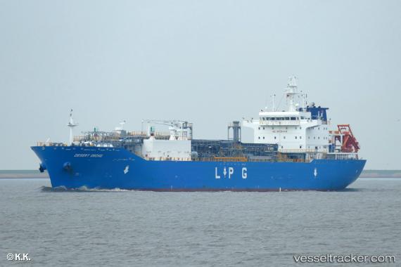
 INTREPID
Current Status
Where is the vessel?
INTREPID is currently in 10 nm NE of Ceuta, based on AIS data received about 1h ago.
Latest AIS update:
Current position: 35.97708° N, 5.12671° W (10 nm NE of Ceuta)
Average speed (last 7 days): Loading…
Average speed (last 30 days): Loading…
Vessel profile: INTREPID is a Tanker with dimensions m x m.
This page combines live AIS, route history, probable destination signals, nearby traffic, and port activity for practical vessel monitoring.
The current position of vessel INTREPID is 35.97708 lat / -5.12671 lng. Updated: 2026-05-16 07:47:38 UTCNearest reference points:
- Near Waterport
- Near Algeciras
- Near La Línea de la Concepción
Currently sailing under the flag of Marshall Islands ![]()
Details:
Live Vessel INTREPID Analytics (details, animations, etc.)
Recent AIS points (UTC):
2026-05-16 05:09:19 UTC · 35.95479, -5.17251 · SOG 1.8 kn · COG 232°2026-05-16 05:51:27 UTC · 35.95925, -5.14837 · SOG 1.6 kn · COG 223°
2026-05-16 07:18:28 UTC · 35.97398, -5.11810 · SOG 1 kn · COG 272°
2026-05-16 07:47:38 UTC · 35.97708, -5.12671 · SOG 6.7 kn · COG 248°