 vesseltracker.com
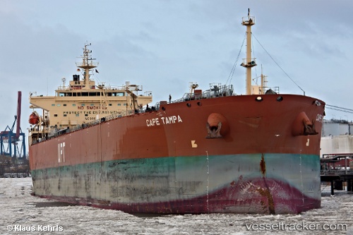
 DAIQUIRI
Current Status
Where is the vessel?
DAIQUIRI is currently in 98 nm N of PUERTO BOLIVAR, based on AIS data received less than 1h ago.
Latest AIS update:
Current position: 13.83833° N, 72.36333° W (98 nm N of PUERTO BOLIVAR)
Average speed (last 7 days): Loading…
Average speed (last 30 days): Loading…
Vessel profile: DAIQUIRI is a Oil/Chemical Tanker with dimensions m x m.
This page combines live AIS, route history, probable destination signals, nearby traffic, and port activity for practical vessel monitoring.
The current position of vessel DAIQUIRI is 13.83833 lat / -72.36333 lng. Updated: 2026-05-15 09:45:43 UTCNearest reference points:
- Near PUERTO BOLIVAR
- 24 nm NW of Palm Beach
- 18 nm N of Santa Marta
Currently sailing under the flag of Marshall Islands ![]()
Details:
Live Vessel DAIQUIRI Analytics (details, animations, etc.)
Recent AIS points (UTC):
2026-05-15 05:42:45 UTC · 14.08167, -72.93667 · SOG 9 kn · COG -1°2026-05-15 07:15:44 UTC · 13.98833, -72.71667 · SOG 8 kn · COG -1°
2026-05-15 08:02:19 UTC · 13.94257, -72.61121 · SOG 8.8 kn · COG 116°
2026-05-15 09:45:43 UTC · 13.83833, -72.36333 · SOG 9 kn · COG -1°