 vesseltracker.com
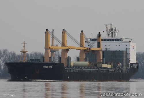
 LILAC ROLLER
Current Status
Where is the vessel?
LILAC ROLLER is currently in 23 nm SE of Krieschow, based on AIS data received about 1h ago.
Latest AIS update:
Current position: 51.46786° N, 2.22877° E (23 nm SE of Krieschow)
Average speed (last 7 days): Loading…
Average speed (last 30 days): Loading…
Vessel profile: LILAC ROLLER is a General Cargo with dimensions m x m.
This page combines live AIS, route history, probable destination signals, nearby traffic, and port activity for practical vessel monitoring.
The current position of vessel LILAC ROLLER is 51.46786 lat / 2.22877 lng. Updated: 2026-04-26 01:32:43 UTCNearest reference points:
- 13 nm NW of Middelkerke
- Near Dunkerque
- 15 nm E of RAMSGATE
Currently sailing under the flag of Marshall Islands ![]()
Details:
Live Vessel LILAC ROLLER Analytics (details, animations, etc.)
Recent AIS points (UTC):
2026-04-25 22:14:29 UTC · 50.99547, 1.58433 · SOG 11.8 kn · COG 46°2026-04-26 00:03:59 UTC · 51.20692, 2.04980 · SOG 12.1 kn · COG 60°
2026-04-26 01:09:13 UTC · 51.39700, 2.18103 · SOG 11.8 kn · COG 24°
2026-04-26 01:32:43 UTC · 51.46786, 2.22877 · SOG 11.7 kn · COG 39°