 vesseltracker.com
 TUVAQ W.
Current Status
Where is the vessel?
TUVAQ W. is currently in Near Lewisporte, based on AIS data received about 4d ago.
Latest AIS update:
Current position: 49.24799° N, 55.04974° W (Near Lewisporte)
Average speed (last 7 days): Loading…
Average speed (last 30 days): Loading…
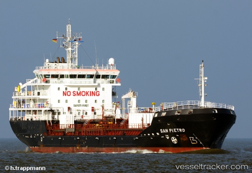
Vessel profile: TUVAQ W. is a Oil/Chemical Tanker with dimensions m x m.
This page combines live AIS, route history, probable destination signals, nearby traffic, and port activity for practical vessel monitoring.
The current position of vessel TUVAQ W. is 49.24799 lat / -55.04974 lng. Updated: 2026-05-11 13:36:58 UTCNearest reference points:
- 17 nm NE of Marystown
- Near Argentia
- Near Catalina
Currently sailing under the flag of Marshall Islands ![]()
Details:
Live Vessel TUVAQ W. Analytics (details, animations, etc.)
Recent AIS points (UTC):
2026-05-11 13:36:58 UTC · 49.24799, -55.04974 · SOG 0 kn · COG 33°2026-05-11 13:36:58 UTC · 49.24799, -55.04974 · SOG 0 kn · COG 33°
2026-05-11 13:36:58 UTC · 49.24799, -55.04974 · SOG 0 kn · COG 33°
2026-05-11 13:36:58 UTC · 49.24799, -55.04974 · SOG 0 kn · COG 33°