 vesseltracker.com
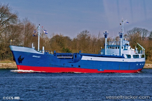
 ELI
ELI
Current Status
Where is the vessel?
ELI is currently in Near COLON 2000, based on AIS data received less than 1h ago.
Latest AIS update:
Current position: 9.36505° N, 79.89457° W (Near COLON 2000)
Average speed (last 7 days): Loading…
Average speed (last 30 days): Loading…
Vessel profile: ELI is a General Cargo with dimensions m x m.
This page combines live AIS, route history, probable destination signals, nearby traffic, and port activity for practical vessel monitoring.
The current position of vessel ELI is 9.36505 lat / -79.89457 lng. Updated: 2026-05-14 04:25:32 UTCNearest reference points:
- Near COLON 2000
- Near Colón Free Zone
- Near Colon
Currently sailing under the flag of Panama ![]()
Details:
Live Vessel ELI Analytics (details, animations, etc.)
Recent AIS points (UTC):
2026-05-14 01:39:38 UTC · 9.36502, -79.89458 · SOG 0 kn · COG -1°2026-05-14 02:28:48 UTC · 9.36502, -79.89455 · SOG 0 kn · COG -1°
2026-05-14 04:09:46 UTC · 9.36509, -79.89457 · SOG 0 kn · COG -1°
2026-05-14 04:25:32 UTC · 9.36505, -79.89457 · SOG 0 kn · COG -1°