 vesseltracker.com
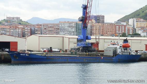
 BERS
BERS
Current Status
Where is the vessel?
BERS is currently in Near Batumi, based on AIS data received about 2h ago.
Latest AIS update:
Current position: 41.68189° N, 41.67771° E (Near Batumi)
Average speed (last 7 days): Loading…
Average speed (last 30 days): Loading…
Vessel profile: BERS is a Cargo with dimensions m x m.
This page combines live AIS, route history, probable destination signals, nearby traffic, and port activity for practical vessel monitoring.
The current position of vessel BERS is 41.68189 lat / 41.67771 lng. Updated: 2026-05-15 00:13:28 UTCNearest reference points:
- Near Batumi
- Near Sup'sa
- Near Poti
Currently sailing under the flag of Nauru ![]()
Details:
Live Vessel BERS Analytics (details, animations, etc.)
Recent AIS points (UTC):
2026-05-14 20:13:23 UTC · 41.68261, 41.67771 · SOG 0.2 kn · COG 270°2026-05-14 21:26:04 UTC · 41.68235, 41.67770 · SOG 0.2 kn · COG 292°
2026-05-14 22:39:03 UTC · 41.68231, 41.67764 · SOG 0.2 kn · COG 287°
2026-05-15 00:13:28 UTC · 41.68189, 41.67771 · SOG 0.2 kn · COG 298°