 vesseltracker.com
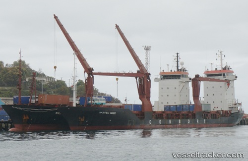
Ocean Freedom
Current StatusWhere is the vessel?
Ocean Freedom is currently in Near Tondo, based on AIS data received less than 1h ago.
Latest AIS update:
Current position: 14.61886° N, 120.91687° E (Near Tondo)
Average speed (last 7 days): Loading…
Average speed (last 30 days): Loading…
Vessel profile: Ocean Freedom is a Multi Purpose Carrier with dimensions 16m x 105m.
This page combines live AIS, route history, probable destination signals, nearby traffic, and port activity for practical vessel monitoring.
The current position of vessel Ocean Freedom is 14.61886 lat / 120.91687 lng. Updated: 2026-05-15 05:48:24 UTCNearest reference points:
- Near Tondo
- Near Malabon
- Near Caloocan City
Details:
Live Vessel Ocean Freedom Analytics (details, animations, etc.)
Recent AIS points (UTC):
2026-05-15 00:15:24 UTC · 14.61838, 120.91582 · SOG 0.7 kn · COG 165°2026-05-15 03:36:24 UTC · 14.61865, 120.91664 · SOG 0.1 kn · COG 250°
2026-05-15 05:00:24 UTC · 14.61874, 120.91682 · SOG 0.3 kn · COG 294°
2026-05-15 05:48:24 UTC · 14.61886, 120.91687 · SOG 0.1 kn · COG 162°