 vesseltracker.com
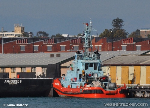
 WAIOWA
Current Status
Where is the vessel?
WAIOWA is currently in Near Lae, based on AIS data received less than 1h ago.
Latest AIS update:
Current position: 6.74000° S, 146.98239° E (Near Lae)
Average speed (last 7 days): Loading…
Average speed (last 30 days): Loading…
Vessel profile: WAIOWA is a Tug with dimensions 10m x 34m.
This page combines live AIS, route history, probable destination signals, nearby traffic, and port activity for practical vessel monitoring.
The current position of vessel WAIOWA is -6.74000 lat / 146.98239 lng. Updated: 2026-05-14 14:04:23 UTCNearest reference points:
- Near Lae
- 42 nm E of Tami Island
Currently sailing under the flag of Papua New Guinea ![]()
WAIOWA built in 1994 year
Deadweight:
257 tDetails:
Live Vessel WAIOWA Analytics (details, animations, etc.)
Recent AIS points (UTC):
2026-05-14 10:24:13 UTC · -6.73999, 146.98239 · SOG 0.6 kn · COG 298°2026-05-14 11:42:23 UTC · -6.74004, 146.98241 · SOG 0.6 kn · COG 297°
2026-05-14 13:24:53 UTC · -6.73999, 146.98236 · SOG 0.6 kn · COG 297°
2026-05-14 14:04:23 UTC · -6.74000, 146.98239 · SOG 0.5 kn · COG 297°