 vesseltracker.com
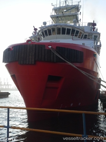
Executive Accord
Current StatusWhere is the vessel?
Executive Accord is currently in Near Muara, based on AIS data received less than 1h ago.
Latest AIS update:
Current position: 5.03008° N, 115.08001° E (Near Muara)
Average speed (last 7 days): Loading…
Average speed (last 30 days): Loading…
Vessel profile: Executive Accord is a Offshore Tug Supply Ship with dimensions 19m x 78m.
This page combines live AIS, route history, probable destination signals, nearby traffic, and port activity for practical vessel monitoring.
The current position of vessel Executive Accord is 5.03008 lat / 115.08001 lng. Updated: 2026-04-28 06:01:31 UTCNearest reference points:
- Near Kikeh
- 11 nm N of MIRI
- Near MIRI
Details:
Live Vessel Executive Accord Analytics (details, animations, etc.)
Recent AIS points (UTC):
2026-04-28 01:48:14 UTC · 5.07185, 115.09503 · SOG 0 kn · COG 252°2026-04-28 04:01:28 UTC · 5.03008, 115.08002 · SOG 0 kn · COG 55°
2026-04-28 04:52:30 UTC · 5.03007, 115.08006 · SOG 0 kn · COG 56°
2026-04-28 06:01:31 UTC · 5.03008, 115.08001 · SOG 0 kn · COG 56°