 vesseltracker.com
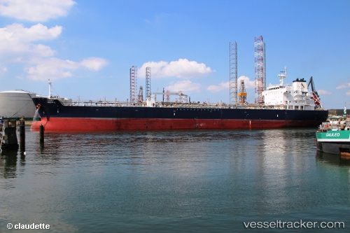
 TORM BELIS
Current Status
Where is the vessel?
TORM BELIS is currently in 30 nm SW of Cape Agulhas, based on AIS data received about 1h ago.
Latest AIS update:
Current position: 35.28167° S, 19.72833° E (30 nm SW of Cape Agulhas)
Average speed (last 7 days): Loading…
Average speed (last 30 days): Loading…
Vessel profile: TORM BELIS is a Oil/Chemical Tanker with dimensions m x m.
This page combines live AIS, route history, probable destination signals, nearby traffic, and port activity for practical vessel monitoring.
The current position of vessel TORM BELIS is -35.28167 lat / 19.72833 lng. Updated: 2026-05-14 17:21:29 UTCNearest reference points:
- 15 nm SE of Moorreesburg
- Near Mitchells Plain
- 18 nm SW of Cape Of Good Hope
Currently sailing under the flag of Singapore ![]()
Details:
Live Vessel TORM BELIS Analytics (details, animations, etc.)
Recent AIS points (UTC):
2026-05-14 14:09:31 UTC · -35.20167, 18.93667 · SOG 12 kn · COG -1°2026-05-14 16:10:56 UTC · -35.29371, 19.41790 · SOG 12.8 kn · COG 85°
2026-05-14 16:19:56 UTC · -35.29309, 19.45701 · SOG 12.7 kn · COG 86°
2026-05-14 17:21:29 UTC · -35.28167, 19.72833 · SOG 13 kn · COG -1°