 vesseltracker.com
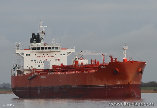
 VELA
VELA
Current Status
Where is the vessel?
VELA is currently in 51 nm NE of PENGERANG, based on AIS data received about 1h ago.
Latest AIS update:
Current position: 1.82231° N, 104.86815° E (51 nm NE of PENGERANG)
Average speed (last 7 days): Loading…
Average speed (last 30 days): Loading…
Vessel profile: VELA is a Tanker B with dimensions m x m.
This page combines live AIS, route history, probable destination signals, nearby traffic, and port activity for practical vessel monitoring.
The current position of vessel VELA is 1.82231 lat / 104.86815 lng. Updated: 2026-05-15 04:33:14 UTCNearest reference points:
- 51 nm NE of PENGERANG
- 53 nm NE of PENGERANG
- 45 nm NE of PENGERANG
Currently sailing under the flag of Singapore ![]()
Details:
Live Vessel VELA Analytics (details, animations, etc.)
Recent AIS points (UTC):
2026-05-14 22:31:11 UTC · 1.25690, 103.93749 · SOG 6.6 kn · COG 118°2026-05-14 23:45:14 UTC · 1.26241, 104.13224 · SOG 10.9 kn · COG 85°
2026-05-15 04:20:54 UTC · 1.78276, 104.84748 · SOG 12.9 kn · COG 23°
2026-05-15 04:33:14 UTC · 1.82231, 104.86815 · SOG 12.9 kn · COG 23°