 vesseltracker.com
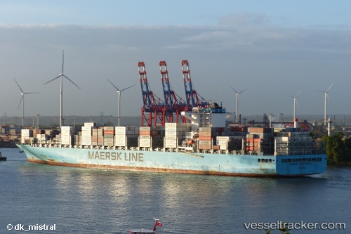
 MAERSK GUATEMALA
Current Status
Where is the vessel?
MAERSK GUATEMALA is currently in 62 nm W of Saldanha Bay, based on AIS data received less than 1h ago.
Latest AIS update:
Current position: 33.28312° S, 16.66212° E (62 nm W of Saldanha Bay)
Average speed (last 7 days): Loading…
Average speed (last 30 days): Loading…
Vessel profile: MAERSK GUATEMALA is a Cargo A with dimensions m x m.
This page combines live AIS, route history, probable destination signals, nearby traffic, and port activity for practical vessel monitoring.
The current position of vessel MAERSK GUATEMALA is -33.28312 lat / 16.66212 lng. Updated: 2026-04-24 22:17:31 UTCNearest reference points:
- 111 nm W of Kommetjie
- 116 nm SW of Saldanha Bay
- Near Saint Helena Bay
Currently sailing under the flag of Singapore ![]()
Details:
Live Vessel MAERSK GUATEMALA Analytics (details, animations, etc.)
Recent AIS points (UTC):
2026-04-24 19:37:04 UTC · -34.08443, 17.28583 · SOG 22.7 kn · COG 332°2026-04-24 20:12:02 UTC · -33.89825, 17.18282 · SOG 20.1 kn · COG 335°
2026-04-24 21:37:07 UTC · -33.47913, 16.83569 · SOG 21.4 kn · COG 315°
2026-04-24 22:17:31 UTC · -33.28312, 16.66212 · SOG 21.9 kn · COG 325°