 vesseltracker.com
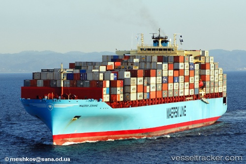
 Maersk Senang
Current Status
Where is the vessel?
Maersk Senang is currently in 113 nm W of Florida Straits, based on AIS data received about 2h ago.
Latest AIS update:
Current position: 24.92167° N, 84.99333° W (113 nm W of Florida Straits)
Average speed (last 7 days): Loading…
Average speed (last 30 days): Loading…
Vessel profile: Maersk Senang is a Container Ship with dimensions 319m x 40m.
This page combines live AIS, route history, probable destination signals, nearby traffic, and port activity for practical vessel monitoring.
The current position of vessel Maersk Senang is 24.92167 lat / -84.99333 lng. Updated: 2026-05-14 23:05:56 UTCNearest reference points:
- 14 nm W of Florida Straits
- 78 nm SW of Boca Grande
- 62 nm SW of Anna Maria
Currently sailing under the flag of Singapore ![]()
Maersk Senang built in 2007 year
Deadweight:
81094 tDetails:
Live Vessel Maersk Senang Analytics (details, animations, etc.)
Recent AIS points (UTC):
2026-05-14 19:17:11 UTC · 24.51167, -83.94167 · SOG 17 kn · COG -1°2026-05-14 21:47:39 UTC · 24.79167, -84.65667 · SOG 16 kn · COG -1°
2026-05-14 23:05:56 UTC · 24.92167, -84.99333 · SOG 15 kn · COG -1°
2026-05-14 23:05:56 UTC · 24.92167, -84.99333 · SOG 15 kn · COG -1°