 vesseltracker.com
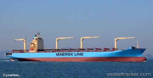
Maersk Cardiff
Current StatusWhere is the vessel?
Maersk Cardiff is currently in 138 nm W of Walvisbaai, based on AIS data received less than 1h ago.
Latest AIS update:
Current position: 23.50492° S, 12.06099° E (138 nm W of Walvisbaai)
Average speed (last 7 days): Loading…
Average speed (last 30 days): Loading…
Vessel profile: Maersk Cardiff is a Container Ship with dimensions 37m x 249m.
This page combines live AIS, route history, probable destination signals, nearby traffic, and port activity for practical vessel monitoring.
The current position of vessel Maersk Cardiff is -23.50492 lat / 12.06099 lng. Updated: 2026-05-15 09:56:14 UTCNearest reference points:
- 161 nm W of Walvisbaai
- 151 nm W of Henties Bay (Hentiesbaai)
- Near WALVIS BAY
Details:
Live Vessel Maersk Cardiff Analytics (details, animations, etc.)
Recent AIS points (UTC):
2026-05-15 06:19:20 UTC · -22.66683, 11.59400 · SOG 15.8 kn · COG 149°2026-05-15 07:08:09 UTC · -22.85566, 11.70486 · SOG 15.7 kn · COG 152°
2026-05-15 07:36:35 UTC · -22.96673, 11.76301 · SOG 15.3 kn · COG 154°
2026-05-15 09:56:14 UTC · -23.50492, 12.06099 · SOG 15.5 kn · COG 156°