 vesseltracker.com
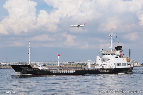
 CHOTETANASIN
Current Status
Where is the vessel?
CHOTETANASIN is currently in Near SAMUT SAKHON, based on AIS data received about 1h ago.
Latest AIS update:
Current position: 13.40667° N, 100.32667° E (Near SAMUT SAKHON)
Average speed (last 7 days): Loading…
Average speed (last 30 days): Loading…
Vessel profile: CHOTETANASIN is a Tanker with dimensions m x m.
This page combines live AIS, route history, probable destination signals, nearby traffic, and port activity for practical vessel monitoring.
The current position of vessel CHOTETANASIN is 13.40667 lat / 100.32667 lng. Updated: 2026-05-15 06:11:48 UTCNearest reference points:
- Near Bangpoomai
- Near Unithai Container Terminal
- Near Nim Port
Currently sailing under the flag of Thailand ![]()
Details:
Live Vessel CHOTETANASIN Analytics (details, animations, etc.)
Recent AIS points (UTC):
2026-05-14 23:42:03 UTC · 13.12471, 100.77106 · SOG 9.6 kn · COG 301°2026-05-15 04:20:50 UTC · 13.40667, 100.32667 · SOG 0 kn · COG -1°
2026-05-15 04:29:50 UTC · 13.40667, 100.32667 · SOG 0 kn · COG -1°
2026-05-15 06:11:48 UTC · 13.40667, 100.32667 · SOG 0 kn · COG -1°