 vesseltracker.com
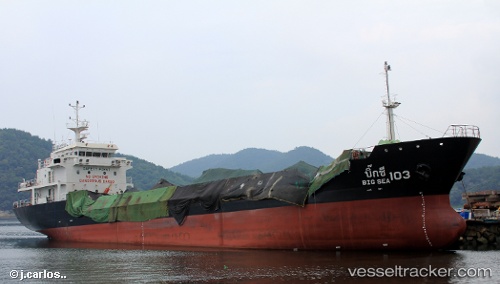
 BIG SEA 103
Current Status
Where is the vessel?
BIG SEA 103 is currently in 19 nm S of SATTAHIP, based on AIS data received less than 1h ago.
Latest AIS update:
Current position: 12.32667° N, 100.95333° E (19 nm S of SATTAHIP)
Average speed (last 7 days): Loading…
Average speed (last 30 days): Loading…
Vessel profile: BIG SEA 103 is a Tanker with dimensions m x m.
This page combines live AIS, route history, probable destination signals, nearby traffic, and port activity for practical vessel monitoring.
The current position of vessel BIG SEA 103 is 12.32667 lat / 100.95333 lng. Updated: 2026-05-14 22:19:11 UTCNearest reference points:
- 33 nm S of SATTAHIP
- 11 nm S of Map Ta Phut
- Near SATTAHIP
Currently sailing under the flag of Thailand ![]()
Details:
Live Vessel BIG SEA 103 Analytics (details, animations, etc.)
Recent AIS points (UTC):
2026-05-14 19:15:05 UTC · 11.89833, 100.53500 · SOG 12 kn · COG -1°2026-05-14 20:15:25 UTC · 12.03667, 100.68333 · SOG 11 kn · COG -1°
2026-05-14 21:58:55 UTC · 12.27664, 100.91246 · SOG 11.6 kn · COG 43°
2026-05-14 22:19:11 UTC · 12.32667, 100.95333 · SOG 11 kn · COG -1°