 vesseltracker.com
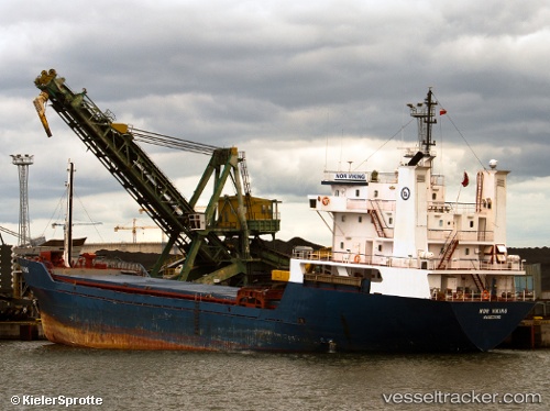
 VIKING
Current Status
Where is the vessel?
VIKING is currently in 39 nm SW of HERCEGNOVI, based on AIS data received less than 1h ago.
Latest AIS update:
Current position: 41.88367° N, 18.09192° E (39 nm SW of HERCEGNOVI)
Average speed (last 7 days): Loading…
Average speed (last 30 days): Loading…
Vessel profile: VIKING is a General Cargo with dimensions m x m.
This page combines live AIS, route history, probable destination signals, nearby traffic, and port activity for practical vessel monitoring.
The current position of vessel VIKING is 41.88367 lat / 18.09192 lng. Updated: 2026-04-26 16:38:03 UTCNearest reference points:
- 15 nm SW of Cavtat
- Near Zelinika
- Near Zelenika
Currently sailing under the flag of Vanuatu ![]()
Details:
Live Vessel VIKING Analytics (details, animations, etc.)
Recent AIS points (UTC):
2026-04-26 13:05:05 UTC · 42.10177, 17.60907 · SOG 7.4 kn · COG 121°2026-04-26 13:59:43 UTC · 42.04367, 17.73683 · SOG 7.2 kn · COG 120°
2026-04-26 16:04:54 UTC · 41.91727, 18.01887 · SOG 6.8 kn · COG 122°
2026-04-26 16:38:03 UTC · 41.88367, 18.09192 · SOG 6.9 kn · COG 124°