 vesseltracker.com
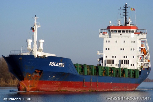
 SEVEN SKY
Current Status
Where is the vessel?
SEVEN SKY is currently in Near Haifa, based on AIS data received less than 1h ago.
Latest AIS update:
Current position: 32.80974° N, 35.03053° E (Near Haifa)
Average speed (last 7 days): Loading…
Average speed (last 30 days): Loading…
Vessel profile: SEVEN SKY is a General Cargo Ship with dimensions 103m x 16m.
This page combines live AIS, route history, probable destination signals, nearby traffic, and port activity for practical vessel monitoring.
The current position of vessel SEVEN SKY is 32.80974 lat / 35.03053 lng. Updated: 2026-04-20 06:22:27 UTCNearest reference points:
- Near Haifa
- 22 nm W of Haifa Granaries
- Near DBAIYEH
Currently sailing under the flag of Vanuatu ![]()
SEVEN SKY built in 1998 year
Deadweight:
5190 tDetails:
Live Vessel SEVEN SKY Analytics (details, animations, etc.)
Recent AIS points (UTC):
2026-04-20 01:55:14 UTC · 32.80979, 35.03053 · SOG 0.2 kn · COG 65°2026-04-20 03:39:02 UTC · 32.80976, 35.03049 · SOG 0.1 kn · COG 65°
2026-04-20 04:27:05 UTC · 32.80970, 35.03061 · SOG 0.1 kn · COG 65°
2026-04-20 06:22:27 UTC · 32.80974, 35.03053 · SOG 0 kn · COG 65°