 vesseltracker.com
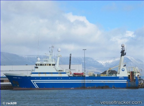
 Harvest Mzansi
Current Status
Where is the vessel?
Harvest Mzansi is currently in 56 nm SW of Goudiniweg, based on AIS data received less than 1h ago.
Latest AIS update:
Current position: 35.44565° S, 18.85814° E (56 nm SW of Goudiniweg)
Average speed (last 7 days): Loading…
Average speed (last 30 days): Loading…
Vessel profile: Harvest Mzansi is a Fishing Vessel with dimensions 64m x 13m.
This page combines live AIS, route history, probable destination signals, nearby traffic, and port activity for practical vessel monitoring.
The current position of vessel Harvest Mzansi is -35.44565 lat / 18.85814 lng. Updated: 2026-05-02 18:17:41 UTCNearest reference points:
- 15 nm SE of Moorreesburg
- 18 nm SW of Cape Of Good Hope
- Near Mitchells Plain
Currently sailing under the flag of South Africa ![]()
Details:
Live Vessel Harvest Mzansi Analytics (details, animations, etc.)
Recent AIS points (UTC):
2026-05-02 13:35:03 UTC · -35.25430, 18.71712 · SOG 3.1 kn · COG 348°2026-05-02 16:07:13 UTC · -35.31690, 18.76719 · SOG 4.3 kn · COG 162°
2026-05-02 16:26:23 UTC · -35.33843, 18.77651 · SOG 4.5 kn · COG 162°
2026-05-02 18:17:41 UTC · -35.44565, 18.85814 · SOG 4.1 kn · COG 145°