 vesseltracker.com
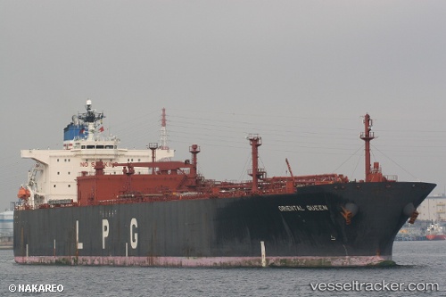
 SIONA
SIONA
Current Status
Where is the vessel?
SIONA is currently in Near Jazireh-Ye Sirri, based on AIS data received less than 1h ago.
Latest AIS update:
Current position: 25.90708° N, 54.57129° E (Near Jazireh-Ye Sirri)
Average speed (last 7 days): Loading…
Average speed (last 30 days): Loading…
Vessel profile: SIONA is a Tanker with dimensions m x m.
This page combines live AIS, route history, probable destination signals, nearby traffic, and port activity for practical vessel monitoring.
The current position of vessel SIONA is 25.90708 lat / 54.57129 lng. Updated: 2026-04-25 21:39:44 UTCNearest reference points:
- 11 nm SW of Fateh Terminal
- 17 nm NW of Free Port
- Near LENGEH
Currently sailing under the flag of Comoros ![]()
Details:
Live Vessel SIONA Analytics (details, animations, etc.)
Recent AIS points (UTC):
2026-04-25 18:12:25 UTC · 25.90728, 54.57144 · SOG 0 kn · COG -1°2026-04-25 19:43:35 UTC · 25.90711, 54.57122 · SOG 0 kn · COG -1°
2026-04-25 20:03:14 UTC · 25.90705, 54.57111 · SOG 0 kn · COG -1°
2026-04-25 21:39:44 UTC · 25.90708, 54.57129 · SOG 0 kn · COG -1°