 vesseltracker.com
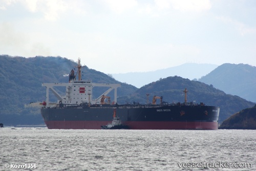
 BREEZE V
Current Status
Where is the vessel?
BREEZE V is currently in 31 nm SE of DONGJIAKOU, based on AIS data received about 1h ago.
Latest AIS update:
Current position: 35.34436° N, 120.35831° E (31 nm SE of DONGJIAKOU)
Average speed (last 7 days): Loading…
Average speed (last 30 days): Loading…
Vessel profile: BREEZE V is a Crude Oil Tanker with dimensions m x m.
This page combines live AIS, route history, probable destination signals, nearby traffic, and port activity for practical vessel monitoring.
The current position of vessel BREEZE V is 35.34436 lat / 120.35831 lng. Updated: 2026-05-14 17:17:24 UTCNearest reference points:
- 37 nm E of DONGJIAKOU
- 24 nm SE of DONGJIAKOU
- 25 nm SE of DONGJIAKOU
Currently sailing under the flag of Comoros ![]()
Details:
Live Vessel BREEZE V Analytics (details, animations, etc.)
Recent AIS points (UTC):
2026-05-14 14:01:45 UTC · 35.34626, 120.36513 · SOG 0 kn · COG 219°2026-05-14 15:40:42 UTC · 35.34690, 120.36011 · SOG 0 kn · COG 147°
2026-05-14 16:46:35 UTC · 35.34497, 120.35843 · SOG 0 kn · COG 99°
2026-05-14 17:17:24 UTC · 35.34436, 120.35831 · SOG 0 kn · COG 88°