 vesseltracker.com
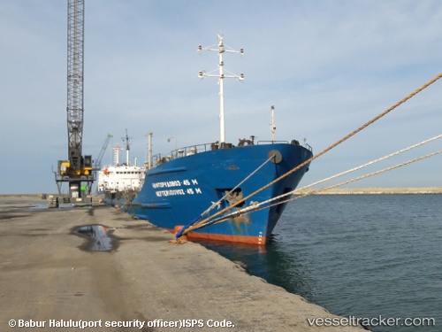
 KHORYV
Current Status
Where is the vessel?
KHORYV is currently in Near Khalkis, based on AIS data received about 3h ago.
Latest AIS update:
Current position: 38.45848° N, 23.58972° E (Near Khalkis)
Average speed (last 7 days): Loading…
Average speed (last 30 days): Loading…
Vessel profile: KHORYV is a Ore/Oil Carrier with dimensions m x m.
This page combines live AIS, route history, probable destination signals, nearby traffic, and port activity for practical vessel monitoring.
The current position of vessel KHORYV is 38.45848 lat / 23.58972 lng. Updated: 2026-04-27 16:08:21 UTCNearest reference points:
- Near MILAKI
- Near Keratsínion
- Near PERAMA
Currently sailing under the flag of Comoros ![]()
Details:
Live Vessel KHORYV Analytics (details, animations, etc.)
Recent AIS points (UTC):
2026-04-27 14:02:22 UTC · 38.45847, 23.58973 · SOG 0 kn · COG 359°2026-04-27 16:08:21 UTC · 38.45848, 23.58972 · SOG 0 kn · COG 359°
2026-04-27 16:08:21 UTC · 38.45848, 23.58972 · SOG 0 kn · COG 359°
2026-04-27 16:08:21 UTC · 38.45848, 23.58972 · SOG 0 kn · COG 359°