 vesseltracker.com
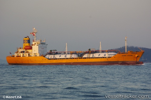
 MAYA GAS 1
Current Status
Where is the vessel?
MAYA GAS 1 is currently in 20 nm SE of KHASAB, based on AIS data received less than 1h ago.
Latest AIS update:
Current position: 25.93663° N, 56.46108° E (20 nm SE of KHASAB)
Average speed (last 7 days): Loading…
Average speed (last 30 days): Loading…
Vessel profile: MAYA GAS 1 is a Tanker with dimensions m x m.
This page combines live AIS, route history, probable destination signals, nearby traffic, and port activity for practical vessel monitoring.
The current position of vessel MAYA GAS 1 is 25.93663 lat / 56.46108 lng. Updated: 2026-05-14 09:44:11 UTCNearest reference points:
- Near Rak Maritime City
- Near Stevin Rock
- Near Ras Al Khaimah
Currently sailing under the flag of Comoros ![]()
Details:
Live Vessel MAYA GAS 1 Analytics (details, animations, etc.)
Recent AIS points (UTC):
2026-05-14 05:40:28 UTC · 26.19538, 57.02141 · SOG 7.3 kn · COG 349°2026-05-14 07:20:19 UTC · 26.39139, 56.96782 · SOG 6.7 kn · COG 345°
2026-05-14 07:20:19 UTC · 26.39139, 56.96782 · SOG 6.7 kn · COG 345°
2026-05-14 09:44:11 UTC · 25.93663, 56.46108 · SOG 0 kn · COG 346°