 vesseltracker.com
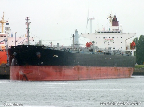
 BLUEFINS
Current Status
Where is the vessel?
BLUEFINS is currently in Near TANAH MERAH, based on AIS data received about 1h ago.
Latest AIS update:
Current position: 1.29912° N, 104.08059° E (Near TANAH MERAH)
Average speed (last 7 days): Loading…
Average speed (last 30 days): Loading…
Vessel profile: BLUEFINS is a Oil Products Tanker with dimensions 32m x 229m.
This page combines live AIS, route history, probable destination signals, nearby traffic, and port activity for practical vessel monitoring.
The current position of vessel BLUEFINS is 1.29912 lat / 104.08059 lng. Updated: 2026-04-25 08:00:49 UTCNearest reference points:
- Near TANAH MERAH
- Near Tanjung Setapa
- Near PENGERANG
Currently sailing under the flag of Djibouti ![]()
BLUEFINS built in 2001 year
Deadweight:
68467 tDetails:
Live Vessel BLUEFINS Analytics (details, animations, etc.)
Recent AIS points (UTC):
2026-04-25 04:30:42 UTC · 1.30308, 104.08669 · SOG 0.1 kn · COG 242°2026-04-25 05:39:49 UTC · 1.30248, 104.08683 · SOG 0.2 kn · COG 268°
2026-04-25 07:57:44 UTC · 1.29893, 104.08087 · SOG 0.5 kn · COG 43°
2026-04-25 08:00:49 UTC · 1.29912, 104.08059 · SOG 0.4 kn · COG 51°