 vesseltracker.com
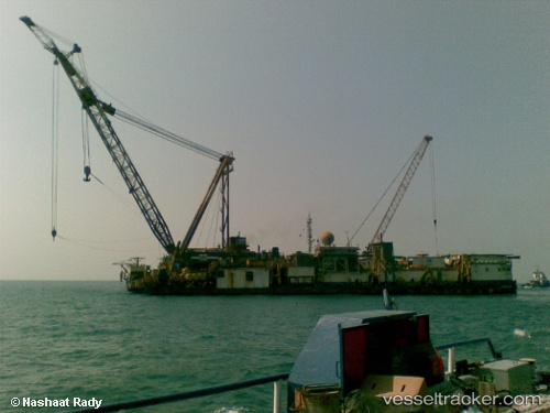
 PMS 12
Current Status
Where is the vessel?
PMS 12 is currently in 26 nm NE of Port Said, based on AIS data received about 1h ago.
Latest AIS update:
Current position: 31.49899° N, 32.74516° E (26 nm NE of Port Said)
Average speed (last 7 days): Loading…
Average speed (last 30 days): Loading…
Vessel profile: PMS 12 is a Towing > 200m OR Breadth > 25m with dimensions m x m.
This page combines live AIS, route history, probable destination signals, nearby traffic, and port activity for practical vessel monitoring.
The current position of vessel PMS 12 is 31.49899 lat / 32.74516 lng. Updated: 2026-05-16 13:52:06 UTCNearest reference points:
- 14 nm N of Port Said
- 16 nm N of Port Said
- Near Port Said
Currently sailing under the flag of Egypt ![]()
Details:
Live Vessel PMS 12 Analytics (details, animations, etc.)
Recent AIS points (UTC):
2026-05-15 21:20:01 UTC · 31.49893, 32.74517 · SOG 0 kn · COG 317°2026-05-15 21:20:01 UTC · 31.49893, 32.74517 · SOG 0 kn · COG 317°
2026-05-16 12:51:54 UTC · 31.49897, 32.74517 · SOG 0 kn · COG 317°
2026-05-16 13:52:06 UTC · 31.49899, 32.74516 · SOG 0 kn · COG 317°