 vesseltracker.com
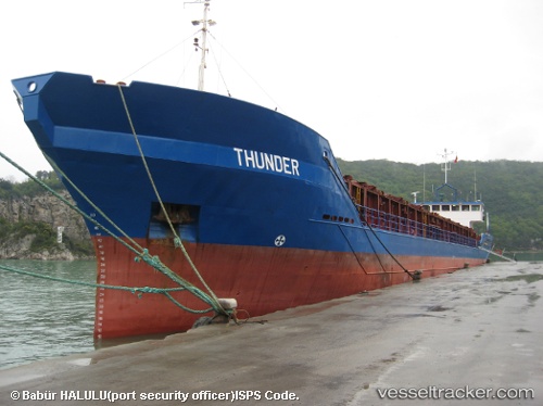
 NS THUNDER
Current Status
Where is the vessel?
NS THUNDER is currently in 15 nm W of Fier, based on AIS data received about 1147d ago.
Latest AIS update:
Current position: 40.80745° N, 19.24702° E (15 nm W of Fier)
Average speed (last 7 days): Loading…
Average speed (last 30 days): Loading…
Vessel profile: NS THUNDER is a General Cargo Ship with dimensions 83m x 12m.
This page combines live AIS, route history, probable destination signals, nearby traffic, and port activity for practical vessel monitoring.
The current position of vessel NS THUNDER is 40.80745 lat / 19.24702 lng. Updated: 2023-02-18 21:39:30 UTCNearest reference points:
- 22 nm W of Fier
- Near Durres
- Near Agios Athanasios
Currently sailing under the flag of Gambia ![]()
NS THUNDER built in 1984 year
Deadweight:
1735 tDetails:
Live Vessel NS THUNDER Analytics (details, animations, etc.)
Recent AIS points (UTC):
2023-02-18 21:39:30 UTC · 40.80745, 19.24702 · SOG 6.4 kn · COG 4°