 vesseltracker.com
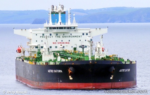
 DESERT KITE
Current Status
Where is the vessel?
DESERT KITE is currently in 12 nm N of Port Said, based on AIS data received less than 1h ago.
Latest AIS update:
Current position: 31.47258° N, 32.29265° E (12 nm N of Port Said)
Average speed (last 7 days): Loading…
Average speed (last 30 days): Loading…
Vessel profile: DESERT KITE is a Crude Oil Tanker with dimensions m x m.
This page combines live AIS, route history, probable destination signals, nearby traffic, and port activity for practical vessel monitoring.
The current position of vessel DESERT KITE is 31.47258 lat / 32.29265 lng. Updated: 2026-05-15 01:05:28 UTCNearest reference points:
- 14 nm N of Port Said
- 15 nm N of Port Said
- 16 nm N of Port Said
Currently sailing under the flag of Gambia ![]()
Details:
Live Vessel DESERT KITE Analytics (details, animations, etc.)
Recent AIS points (UTC):
2026-05-14 21:35:27 UTC · 31.47212, 32.29215 · SOG 0 kn · COG 321°2026-05-14 22:41:27 UTC · 31.47275, 32.29268 · SOG 0 kn · COG 301°
2026-05-14 23:59:27 UTC · 31.47272, 32.29265 · SOG 0 kn · COG 299°
2026-05-15 01:05:28 UTC · 31.47258, 32.29265 · SOG 0 kn · COG 305°