 vesseltracker.com
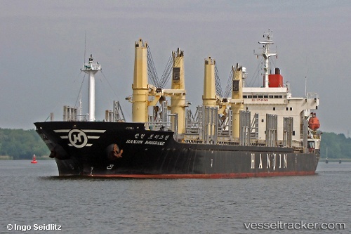
 BLUE SHARK
Current Status
Where is the vessel?
BLUE SHARK is currently in 17 nm N of Istanbul New Airport, based on AIS data received about 1h ago.
Latest AIS update:
Current position: 41.53350° N, 28.62289° E (17 nm N of Istanbul New Airport)
Average speed (last 7 days): Loading…
Average speed (last 30 days): Loading…
Vessel profile: BLUE SHARK is a Bulk Carrier with dimensions m x m.
This page combines live AIS, route history, probable destination signals, nearby traffic, and port activity for practical vessel monitoring.
The current position of vessel BLUE SHARK is 41.53350 lat / 28.62289 lng. Updated: 2026-05-14 02:07:57 UTCNearest reference points:
- 18 nm N of Istanbul New Airport
- Near RUMELI FENERI
- 38 nm E of IGNEADA
Currently sailing under the flag of Guinea ![]()
Details:
Live Vessel BLUE SHARK Analytics (details, animations, etc.)
Recent AIS points (UTC):
2026-05-13 22:43:54 UTC · 41.53356, 28.62278 · SOG 0.2 kn · COG 71°2026-05-14 00:16:36 UTC · 41.53372, 28.62283 · SOG 0 kn · COG 73°
2026-05-14 01:33:56 UTC · 41.53352, 28.62278 · SOG 0 kn · COG 68°
2026-05-14 02:07:57 UTC · 41.53350, 28.62289 · SOG 0 kn · COG 65°