 vesseltracker.com
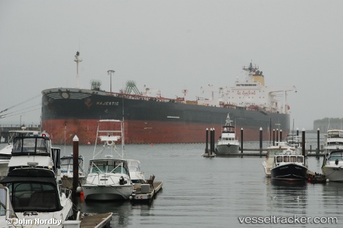
 SKAGE
SKAGE
Current Status
Where is the vessel?
SKAGE is currently in Near Amuay, based on AIS data received less than 1h ago.
Latest AIS update:
Current position: 11.84250° N, 70.35598° W (Near Amuay)
Average speed (last 7 days): Loading…
Average speed (last 30 days): Loading…
Vessel profile: SKAGE is a Crude Oil Tanker with dimensions m x m.
This page combines live AIS, route history, probable destination signals, nearby traffic, and port activity for practical vessel monitoring.
The current position of vessel SKAGE is 11.84250 lat / -70.35598 lng. Updated: 2026-04-28 22:02:56 UTCNearest reference points:
- Near Las Piedras
- 24 nm NW of Palm Beach
- Near Bullenbaai
Currently sailing under the flag of Guinea ![]()
Details:
Live Vessel SKAGE Analytics (details, animations, etc.)
Recent AIS points (UTC):
2026-04-28 17:24:43 UTC · 11.84215, -70.35590 · SOG 0.1 kn · COG 71°2026-04-28 19:36:50 UTC · 11.84245, -70.35582 · SOG 0.1 kn · COG 88°
2026-04-28 21:20:56 UTC · 11.84238, -70.35589 · SOG 0 kn · COG 83°
2026-04-28 22:02:56 UTC · 11.84250, -70.35598 · SOG 0.2 kn · COG 86°