 vesseltracker.com
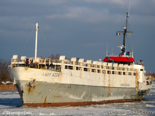
 LADY MARIA
Current Status
Where is the vessel?
LADY MARIA is currently in Near Djibouti, based on AIS data received about 1h ago.
Latest AIS update:
Current position: 11.67447° N, 43.16765° E (Near Djibouti)
Average speed (last 7 days): Loading…
Average speed (last 30 days): Loading…
Vessel profile: LADY MARIA is a Livestock Carrier with dimensions m x m.
This page combines live AIS, route history, probable destination signals, nearby traffic, and port activity for practical vessel monitoring.
The current position of vessel LADY MARIA is 11.67447 lat / 43.16765 lng. Updated: 2026-05-16 10:29:30 UTCNearest reference points:
- Near Djibouti
Currently sailing under the flag of Guinea ![]()
Details:
Live Vessel LADY MARIA Analytics (details, animations, etc.)
Recent AIS points (UTC):
2026-05-16 07:08:30 UTC · 11.67393, 43.16846 · SOG 0 kn · COG -1°2026-05-16 08:08:30 UTC · 11.67455, 43.16767 · SOG 0.1 kn · COG -1°
2026-05-16 09:56:30 UTC · 11.67456, 43.16763 · SOG 0.3 kn · COG -1°
2026-05-16 10:29:30 UTC · 11.67447, 43.16765 · SOG 0.3 kn · COG -1°