 vesseltracker.com
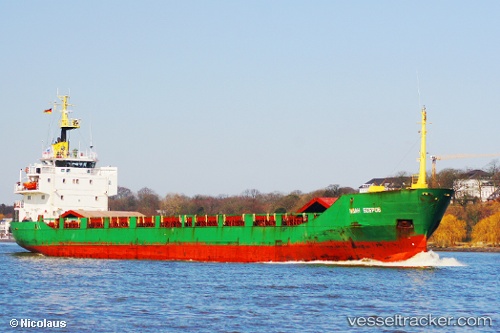
 SKY LIGHT
Current Status
Where is the vessel?
SKY LIGHT is currently in 99 nm NE of Härslöv, based on AIS data received about 1068d ago.
Latest AIS update:
Current position: 57.07211° N, 127.50873° E (99 nm NE of Härslöv)
Average speed (last 7 days): Loading…
Average speed (last 30 days): Loading…
Vessel profile: SKY LIGHT is a General Cargo Ship with dimensions 95m x 13m.
This page combines live AIS, route history, probable destination signals, nearby traffic, and port activity for practical vessel monitoring.
The current position of vessel SKY LIGHT is 57.07211 lat / 127.50873 lng. Updated: 2023-05-27 02:29:49 UTCCurrently sailing under the flag of Equatorial Guinea ![]()
SKY LIGHT built in 1978 year
Deadweight:
3182 tDetails:
Live Vessel SKY LIGHT Analytics (details, animations, etc.)
Recent AIS points (UTC):
2023-05-27 02:29:49 UTC · 57.07211, 127.50873 · SOG 52 kn · COG 80°