 vesseltracker.com
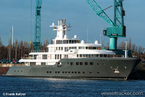
 ICE
ICE
Current Status
Where is the vessel?
ICE is currently in Near PERAMA, based on AIS data received about 1h ago.
Latest AIS update:
Current position: 37.95252° N, 23.55302° E (Near PERAMA)
Average speed (last 7 days): Loading…
Average speed (last 30 days): Loading…
Vessel profile: ICE is a Yacht with dimensions m x m.
This page combines live AIS, route history, probable destination signals, nearby traffic, and port activity for practical vessel monitoring.
The current position of vessel ICE is 37.95252 lat / 23.55302 lng. Updated: 2026-05-16 09:23:58 UTCNearest reference points:
- Near PERAMA
- Near Drapetzona
- Near Keratsínion
Currently sailing under the flag of Equatorial Guinea ![]()
Details:
Live Vessel ICE Analytics (details, animations, etc.)
Recent AIS points (UTC):
2026-05-16 05:47:12 UTC · 37.95251, 23.55302 · SOG 0 kn · COG 96°2026-05-16 07:34:05 UTC · 37.95250, 23.55302 · SOG 0 kn · COG 96°
2026-05-16 08:24:33 UTC · 37.95251, 23.55301 · SOG 0 kn · COG 96°
2026-05-16 09:23:58 UTC · 37.95252, 23.55302 · SOG 0 kn · COG 96°