 vesseltracker.com
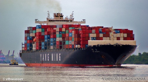
 Ym Utility
Current Status
Where is the vessel?
Ym Utility is currently in 41 nm NW of Burnopfield, based on AIS data received less than 1h ago.
Latest AIS update:
Current position: 54.64060° N, 172.93710° W (41 nm NW of Burnopfield)
Average speed (last 7 days): Loading…
Average speed (last 30 days): Loading…
Vessel profile: Ym Utility is a Container Ship with dimensions 333m x 42m.
This page combines live AIS, route history, probable destination signals, nearby traffic, and port activity for practical vessel monitoring.
The current position of vessel Ym Utility is 54.64060 lat / -172.93710 lng. Updated: 2026-04-28 13:19:12 UTCCurrently sailing under the flag of Liberia ![]()
Ym Utility built in 2009 year
Deadweight:
103614 tDetails:
Live Vessel Ym Utility Analytics (details, animations, etc.)
Recent AIS points (UTC):
2026-04-28 09:33:45 UTC · 54.62244, -171.22173 · SOG 15.9 kn · COG 271°2026-04-28 10:19:53 UTC · 54.62798, -171.56783 · SOG 15.6 kn · COG 270°
2026-04-28 12:15:40 UTC · 54.63679, -172.45343 · SOG 16 kn · COG 270°
2026-04-28 13:19:12 UTC · 54.64060, -172.93710 · SOG 15.6 kn · COG 270°