 vesseltracker.com
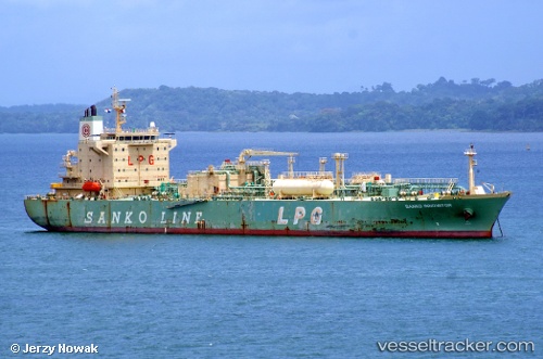
Cheshire
Current StatusWhere is the vessel?
Cheshire is currently in 33 nm SE of El Albujon, based on AIS data received less than 1h ago.
Latest AIS update:
Current position: 37.25316° N, 1.40182° E (33 nm SE of El Albujon)
Average speed (last 7 days): Loading…
Average speed (last 30 days): Loading…
Vessel profile: Cheshire is a Lpg Tanker with dimensions 28m x 174m.
This page combines live AIS, route history, probable destination signals, nearby traffic, and port activity for practical vessel monitoring.
The current position of vessel Cheshire is 37.25316 lat / 1.40182 lng. Updated: 2026-05-15 13:29:49 UTCNearest reference points:
- 17 nm S of Albanchez
- Near FORMENTERA
- 50 nm N of Mostaganem
Details:
Live Vessel Cheshire Analytics (details, animations, etc.)
Recent AIS points (UTC):
2026-05-15 10:15:48 UTC · 37.44400, 2.11437 · SOG 10.7 kn · COG 254°2026-05-15 11:45:48 UTC · 37.35262, 1.78932 · SOG 10.9 kn · COG 255°
2026-05-15 13:08:20 UTC · 37.27500, 1.48333 · SOG 11 kn · COG -1°
2026-05-15 13:29:49 UTC · 37.25316, 1.40182 · SOG 11.5 kn · COG 251°