 vesseltracker.com
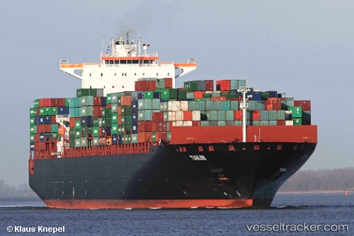
 Tianjin
Current Status
Where is the vessel?
Tianjin is currently in Open sea (no nearby ports in database), based on AIS data received about 1h ago.
Latest AIS update:
Current position: 37.70782° N, 162.89893° E (Open sea (no nearby ports in database))
Average speed (last 7 days): Loading…
Average speed (last 30 days): Loading…
Vessel profile: Tianjin is a Container Ship with dimensions 349m x 46m.
This page combines live AIS, route history, probable destination signals, nearby traffic, and port activity for practical vessel monitoring.
The current position of vessel Tianjin is 37.70782 lat / 162.89893 lng. Updated: 2026-05-15 01:21:27 UTCNearest reference points:
- Open sea (no nearby ports in database)
Currently sailing under the flag of Liberia ![]()
Details:
Live Vessel Tianjin Analytics (details, animations, etc.)
Recent AIS points (UTC):
2026-05-14 22:08:28 UTC · 37.78100, 164.19276 · SOG 18.8 kn · COG 268°2026-05-14 22:09:11 UTC · 37.78078, 164.18816 · SOG 18.7 kn · COG 268°
2026-05-14 23:22:49 UTC · 37.75338, 163.70157 · SOG 18.8 kn · COG 267°
2026-05-15 01:21:27 UTC · 37.70782, 162.89893 · SOG 18.6 kn · COG 266°