 vesseltracker.com
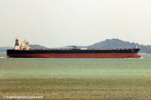
New Resource
Current StatusWhere is the vessel?
New Resource is currently in 133 nm E of Konwelana, based on AIS data received about 4h ago.
Latest AIS update:
Current position: 5.58447° N, 83.40502° E (133 nm E of Konwelana)
Average speed (last 7 days): Loading…
Average speed (last 30 days): Loading…
Vessel profile: New Resource is a Crude Oil Tanker with dimensions 60m x 331m.
This page combines live AIS, route history, probable destination signals, nearby traffic, and port activity for practical vessel monitoring.
The current position of vessel New Resource is 5.58447 lat / 83.40502 lng. Updated: 2026-05-14 16:26:57 UTCNearest reference points:
- 127 nm W of Abakaliki
- 79 nm E of Konwelana
- 75 nm E of Konwelana
Details:
Live Vessel New Resource Analytics (details, animations, etc.)
Recent AIS points (UTC):
2026-05-14 16:26:57 UTC · 5.58447, 83.40502 · SOG 14.1 kn · COG 84°2026-05-14 16:26:57 UTC · 5.58447, 83.40502 · SOG 14.1 kn · COG 84°
2026-05-14 16:26:57 UTC · 5.58447, 83.40502 · SOG 14.1 kn · COG 84°
2026-05-14 16:26:57 UTC · 5.58447, 83.40502 · SOG 14.1 kn · COG 84°