 vesseltracker.com
 Nagoya Tower
Current Status
Where is the vessel?
Nagoya Tower is currently in 88 nm E of Kikaishima, based on AIS data received about 1h ago.
Latest AIS update:
Current position: 28.71566° N, 131.57857° E (88 nm E of Kikaishima)
Average speed (last 7 days): Loading…
Average speed (last 30 days): Loading…
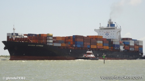
Vessel profile: Nagoya Tower is a Container Ship with dimensions 260m x 32m.
This page combines live AIS, route history, probable destination signals, nearby traffic, and port activity for practical vessel monitoring.
The current position of vessel Nagoya Tower is 28.71566 lat / 131.57857 lng. Updated: 2026-05-15 17:04:28 UTCNearest reference points:
- 107 nm NE of Kitadaito Apt
- Near YAMAGAWA
- 71 nm SW of Taniyama
Currently sailing under the flag of Liberia ![]()
Nagoya Tower built in 2003 year
Deadweight:
50841 tDetails:
Live Vessel Nagoya Tower Analytics (details, animations, etc.)
Recent AIS points (UTC):
2026-05-15 12:53:38 UTC · 29.49787, 132.41045 · SOG 15.3 kn · COG 222°2026-05-15 12:53:38 UTC · 29.49787, 132.41045 · SOG 15.3 kn · COG 222°
2026-05-15 12:53:38 UTC · 29.49787, 132.41045 · SOG 15.3 kn · COG 222°
2026-05-15 17:04:28 UTC · 28.71566, 131.57857 · SOG 15.3 kn · COG 222°