 vesseltracker.com
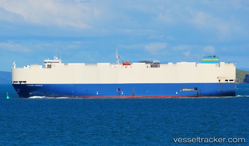
 Lake Taupo
Current Status
Where is the vessel?
Lake Taupo is currently in 30 nm SW of VASILIKO, based on AIS data received about 1d ago.
Latest AIS update:
Current position: 37.25975° N, 20.72963° E (30 nm SW of VASILIKO)
Average speed (last 7 days): Loading…
Average speed (last 30 days): Loading…
Vessel profile: Lake Taupo is a Vehicles Carrier with dimensions 182m x 182m.
This page combines live AIS, route history, probable destination signals, nearby traffic, and port activity for practical vessel monitoring.
The current position of vessel Lake Taupo is 37.25975 lat / 20.72963 lng. Updated: 2026-04-10 07:41:51 UTCNearest reference points:
- 23 nm S of Methoni
- Near MESSOLOGGI
- Near Káto Achaïa
Currently sailing under the flag of Liberia ![]()
Lake Taupo built in 2006 year
Deadweight:
12600 tDetails:
Live Vessel Lake Taupo Analytics (details, animations, etc.)
Recent AIS points (UTC):
2026-04-10 02:16:57 UTC · 36.34778, 21.98562 · SOG 15.5 kn · COG 300°2026-04-10 04:02:20 UTC · 36.56443, 21.49058 · SOG 15.5 kn · COG 300°
2026-04-10 05:30:44 UTC · 36.76321, 21.09166 · SOG 15.3 kn · COG 332°
2026-04-10 07:41:51 UTC · 37.25975, 20.72963 · SOG 15.7 kn · COG 330°