 vesseltracker.com
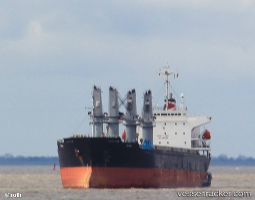
 Patria
Current Status
Where is the vessel?
Patria is currently in 143 nm NE of Campohermoso, based on AIS data received about 6h ago.
Latest AIS update:
Current position: 38.35667° N, 20.39500° W (143 nm NE of Campohermoso)
Average speed (last 7 days): Loading…
Average speed (last 30 days): Loading…
Vessel profile: Patria is a Bulk Carrier with dimensions 175m x 175m.
This page combines live AIS, route history, probable destination signals, nearby traffic, and port activity for practical vessel monitoring.
The current position of vessel Patria is 38.35667 lat / -20.39500 lng. Updated: 2026-04-10 07:45:07 UTCNearest reference points:
- 68 nm NE of Campohermoso
Currently sailing under the flag of Liberia ![]()
Details:
Live Vessel Patria Analytics (details, animations, etc.)
Recent AIS points (UTC):
2026-04-10 01:30:07 UTC · 37.57500, -20.90833 · SOG 9 kn · COG -1°2026-04-10 03:39:08 UTC · 37.87500, -20.72500 · SOG 9 kn · COG -1°
2026-04-10 06:09:26 UTC · 38.18460, -20.52488 · SOG 7.5 kn · COG 24°
2026-04-10 07:45:07 UTC · 38.35667, -20.39500 · SOG 8 kn · COG -1°