 vesseltracker.com
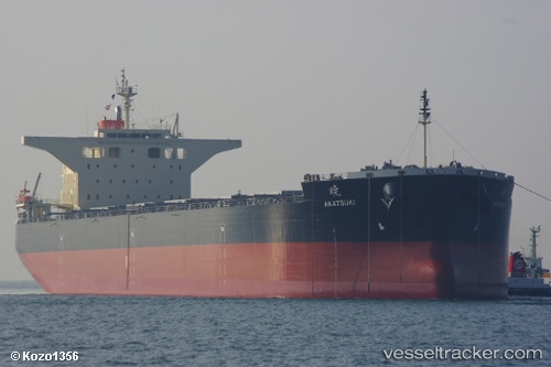
Akatsuki
Current StatusWhere is the vessel?
Akatsuki is currently in Near Mayne Island, based on AIS data received less than 1h ago.
Latest AIS update:
Current position: 48.79324° N, 123.23204° W (Near Mayne Island)
Average speed (last 7 days): Loading…
Average speed (last 30 days): Loading…
Vessel profile: Akatsuki is a Bulk Carrier with dimensions 43m x 235m.
This page combines live AIS, route history, probable destination signals, nearby traffic, and port activity for practical vessel monitoring.
The current position of vessel Akatsuki is 48.79324 lat / -123.23204 lng. Updated: 2026-05-14 18:12:14 UTCNearest reference points:
- Near GANGES
- Near Deer Harbor
- Near Salt Spring Island
Details:
Live Vessel Akatsuki Analytics (details, animations, etc.)
Recent AIS points (UTC):
2026-05-14 14:28:11 UTC · 48.79425, -123.23247 · SOG 0.1 kn · COG -1°2026-05-14 15:51:49 UTC · 48.79306, -123.23245 · SOG 0.2 kn · COG 79°
2026-05-14 16:42:49 UTC · 48.79330, -123.23174 · SOG 0.4 kn · COG 86°
2026-05-14 18:12:14 UTC · 48.79324, -123.23204 · SOG 0.1 kn · COG 93°