 vesseltracker.com
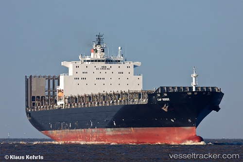
 Msc Margarita
Current Status
Where is the vessel?
Msc Margarita is currently in Near Tianjin Pt, based on AIS data received less than 1h ago.
Latest AIS update:
Current position: 39.01627° N, 117.77096° E (Near Tianjin Pt)
Average speed (last 7 days): Loading…
Average speed (last 30 days): Loading…
Vessel profile: Msc Margarita is a Container Ship with dimensions 276m x 40m.
This page combines live AIS, route history, probable destination signals, nearby traffic, and port activity for practical vessel monitoring.
The current position of vessel Msc Margarita is 39.01627 lat / 117.77096 lng. Updated: 2026-05-15 17:41:00 UTCNearest reference points:
- Near Tianjin Pt
- Near Tianjin Xingang Pt
- Near Tanggu
Currently sailing under the flag of Liberia ![]()
Msc Margarita built in 2002 year
Deadweight:
67644 tDetails:
Live Vessel Msc Margarita Analytics (details, animations, etc.)
Recent AIS points (UTC):
2026-05-15 14:02:00 UTC · 39.01592, 117.77102 · SOG 0.1 kn · COG 348°2026-05-15 15:56:00 UTC · 39.01590, 117.77094 · SOG 0 kn · COG 348°
2026-05-15 17:02:01 UTC · 39.01624, 117.77102 · SOG 0.1 kn · COG 348°
2026-05-15 17:41:00 UTC · 39.01627, 117.77096 · SOG 0 kn · COG 348°