 vesseltracker.com
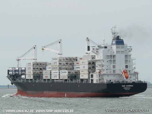
San Andres
Current StatusWhere is the vessel?
San Andres is currently in Near Durres, based on AIS data received about 1h ago.
Latest AIS update:
Current position: 41.31123° N, 19.45201° E (Near Durres)
Average speed (last 7 days): Loading…
Average speed (last 30 days): Loading…
Vessel profile: San Andres is a Container Ship with dimensions 28m x 186m.
This page combines live AIS, route history, probable destination signals, nearby traffic, and port activity for practical vessel monitoring.
The current position of vessel San Andres is 41.31123 lat / 19.45201 lng. Updated: 2026-04-24 11:34:10 UTCNearest reference points:
- Near Durres
- 22 nm W of Fier
- Near TIVAT
Details:
Live Vessel San Andres Analytics (details, animations, etc.)
Recent AIS points (UTC):
2026-04-24 07:37:10 UTC · 41.31119, 19.45203 · SOG 0 kn · COG 204°2026-04-24 10:13:11 UTC · 41.31122, 19.45202 · SOG 0 kn · COG 204°
2026-04-24 10:55:09 UTC · 41.31123, 19.45203 · SOG 0 kn · COG 204°
2026-04-24 11:34:10 UTC · 41.31123, 19.45201 · SOG 0 kn · COG 204°