 vesseltracker.com
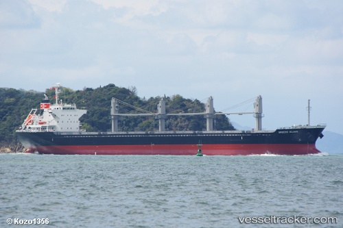
Stentor
Current StatusWhere is the vessel?
Stentor is currently in Near Subic Bay, based on AIS data received less than 1h ago.
Latest AIS update:
Current position: 14.60660° N, 120.07628° E (Near Subic Bay)
Average speed (last 7 days): Loading…
Average speed (last 30 days): Loading…
Vessel profile: Stentor is a Bulk Carrier with dimensions 27m x 170m.
This page combines live AIS, route history, probable destination signals, nearby traffic, and port activity for practical vessel monitoring.
The current position of vessel Stentor is 14.60660 lat / 120.07628 lng. Updated: 2026-04-18 07:51:49 UTCNearest reference points:
- 19 nm SW of MARIVELES
- Near Nasugbu, Luzon
- Near Noveleta
Details:
Live Vessel Stentor Analytics (details, animations, etc.)
Recent AIS points (UTC):
2026-04-18 02:09:18 UTC · 15.69360, 119.63051 · SOG 12.6 kn · COG 166°2026-04-18 03:29:58 UTC · 15.41851, 119.70399 · SOG 12.8 kn · COG 164°
2026-04-18 06:05:46 UTC · 14.88712, 119.86175 · SOG 12.1 kn · COG 148°
2026-04-18 07:51:49 UTC · 14.60660, 120.07628 · SOG 12.3 kn · COG 143°